


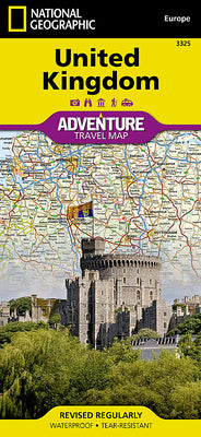
Book overview
- Waterproof - Tear-Resistant - Travel Map
National Geographic's United Kingdom Adventure Map is designed to meet the needs of adventure travelers with its detailed, accurate information and user-friendly design. Cities and towns are easy to find with the map's helpful index.
- Motorways, highways, and other roads are clearly designated and include distance in kilometers so travelers can easily plan their best route.
- With specialty content to include hundreds of diverse and unique recreational, ecological, cultural, and historical destinations, this map is a perfect companion to a guidebook.
- The south side of this map covers the southern portion of the UK, from the tip of France and across the Isle of Man to Northern Ireland.
- The north side shows Belfast, and across the Channel to Edinburgh, the Outer Hebrides, the Orkney Islands, and the Shetland Islands.
- The United Kingdom is comprised of the island of Great Britain which includes England, Wales, and Scotland; surrounding islands including the Outer Hebrides, Orkney Islands, and Shetland Islands; and Northern Ireland.
- No part of the UK is more than 75 miles from the sea, but the geography is diverse.
- England consists of mostly lowland terrain with mountainous regions found in the north and in Wales.
- Scotland is divided into two distinct regions by the Highland Boundary Fault which separates the Highlands to the north and west and the lowlands in the south and east.
The largest body of water in the UK is Northern Ireland's Lough Neagh. Though it is the largest body of water by surface area, Scotland's Loch Ness is larger by volume due to its great depth.
Every Adventure map is printed on "Travel-Tough" waterproof, tear-resistant paper.
- Map Scale = 1:825,000
- Sheet Size = 37.75" x 25.5"
- Folded Size = 4.25" x 9.25"