Home › Hardcover Books › The Queen's Atlas: Saxton's Elizabethan Masterpiece

The Queen's Atlas: Saxton's Elizabethan Masterpiece

by David Fletcher

Mapping Elizabethan England and Wales

Regular price $40.40 USD
Regular price $67.34 USD Sale price $40.40 USD
Save 40%

Hardcover New

Delivery to your door
In stock·Dispatches in 1–2 business days
Standard shipping* from $4.35
Standard shipping transit* 5–8 business days after dispatch

Faster options are available.

Rates and delivery estimates depend on your destination and item quantity. Estimates are informational only; the final shipping method and rate are selected at checkout.

Secure checkout
American Express Apple Pay DiscoverGoogle Pay Mastercard PayPalVisa
30-day eligible returns Returns & refunds policy

AlbakiReads Editorial

Mapping Elizabethan England and Wales

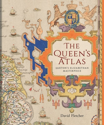
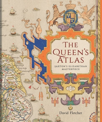
Christopher Saxton’s 1579 atlas brought together the first published county maps of England and Wales. David Fletcher traces the making of that project, including the support Saxton received from Elizabeth I and her court, and considers the atlas’s long influence on detailed mapping of the country. Reproductions of all the county maps are accompanied by other drawings that show the work’s predecessors and successors. Together, the material offers a view of late Tudor England both as a kingdom and through its individual counties.

Good fit for readers who enjoy

  • Readers interested in the history of cartography and historical geography
  • Those curious about Tudor England and the role of Elizabeth I’s court
  • Readers who value books featuring reproduced historical maps and drawings

Themes

CartographyElizabethan EnglandHistorical geographyPatronage and mapmaking

Based on publisher information and book metadata.

Book overview

A cartographic snapshot of late Tudor England, gorgeously reproduced with the first county maps of England and Wales.

Nowadays, we take for granted the ready availability of maps of all kinds, but in Tudor England, maps were rare. All this changed in 1579 when Christopher Saxton, a farmer from the West Riding of Yorkshire, became the first cartographer to make a published atlas of all the counties of England and Wales. This book traces the story of Saxton's life and legacy by reconstructing his extraordinary mapmaking project alongside the crucial nature of the support and encouragement he received from Queen Elizabeth I and her court.

Saxton's atlas became the template for most detailed maps of the country for almost two centuries. For many, his atlas provided the first detailed image of England and Wales they had ever seen, showing the Elizabethan kingdom as a whole and in its constituent parts. This lavishly illustrated book reproduces all of Saxton's county maps together with many other drawings revealing the forebears and successors of this groundbreaking work. Today, Saxton's maps give us an invaluable cartographic snapshot of late Tudor England.

Shipping & returnsShipping options, delivery timing, and our return policy.

In-stock items normally dispatch within 1–2 business days. The ZIP-code estimator on this page is informational only; the final shipping method, price, and availability are confirmed at checkout for your full order.

For the initial delivery estimate we use these transit windows after dispatch: Standard 5–8 business days, Expedited 2–4 business days, and Priority 1–2 business days. Holiday delays are not included.

Eligible items can be returned within 30 days in accordance with our return policy.

Customer reviews

M
AlbakiReads
Malaika Taylor

I highly recommend to for anyone looking for inner clarity

T
AlbakiReads
Thomas DiMassa

Great service and fast service

Great shopping experience! The book arrived quickly, was well packaged, and matched the description perfectly. I would definitely shop with you again

O
AlbakiReads
Olivia

Smooth.